The Geography data type is the basic data type for managing geographic information with GeneXus.
When inserting an attribute or variable based on the Geography data type into a Panel, Web Panel or Transaction Layout, it will be displayed by default as a Map (Control Type property = Map). This is valid for all data types associated with the Geography data type (Geography and its derived GeoPoint, GeoLine, and GeoPolygon).
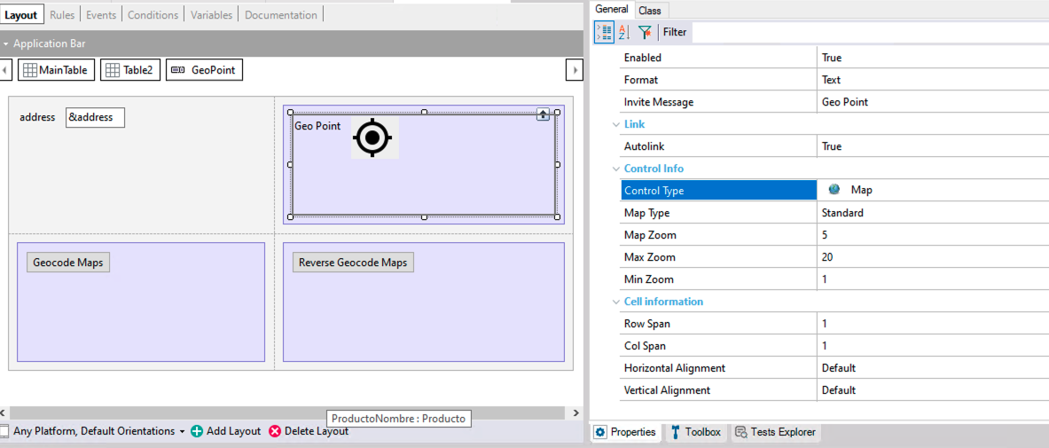
The inserted control offers properties to configure its behavior at runtime, such as Map Zoom property in Attribute/Variables with Control Type: Map and Map Type property. However, its scope is limited to viewing geographic data or editing Geopoints. When creating richer interfaces with greater usability such as data editing or viewing geometries with style, you can use the Grid with Control Type set to Maps in Panels or the Map User Control in Web Panels.
Note: Up to
GeneXus 16, the Control Type of a Geography attribute/variable in forms used to be named Geolocation. It was renamed to Map in
GeneXus 17.